I enjoyed making my water map of Arizona so much, I added California, Nevada, Utah, Colorado, New Mexico, Idaho, and Montana. The whole map starts here. Click a state to explore it. Here is one thing I learned from each.
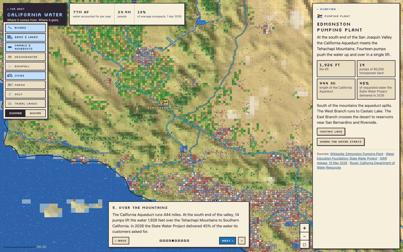
California
Fourteen pumps lift the California Aqueduct’s water 1,926 feet over the Tehachapi Mountains on its way to Southern California.
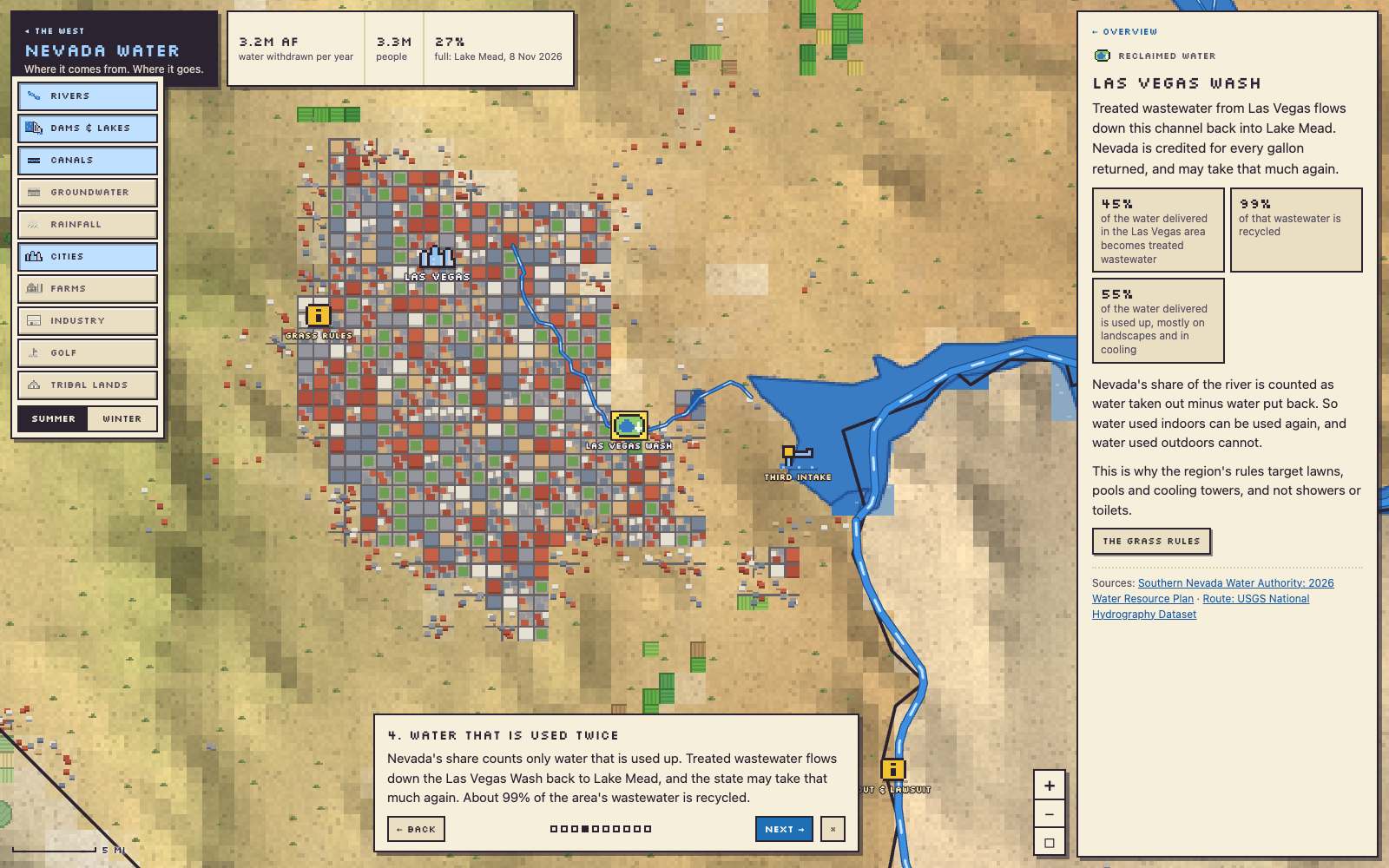
Nevada
Las Vegas sends its treated wastewater back to Lake Mead, and Nevada may then take that much out again.
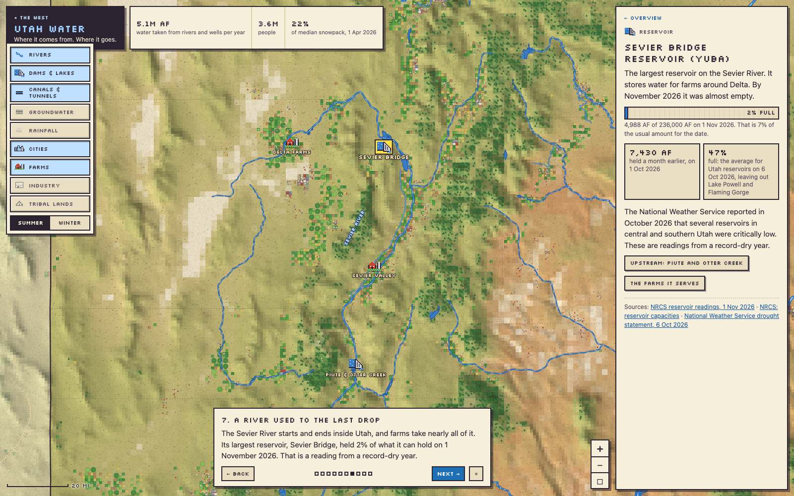
Utah
The Sevier River starts and ends inside Utah, and farms take nearly all of it. Its largest reservoir, Sevier Bridge, was 2% full on 1 November 2026.
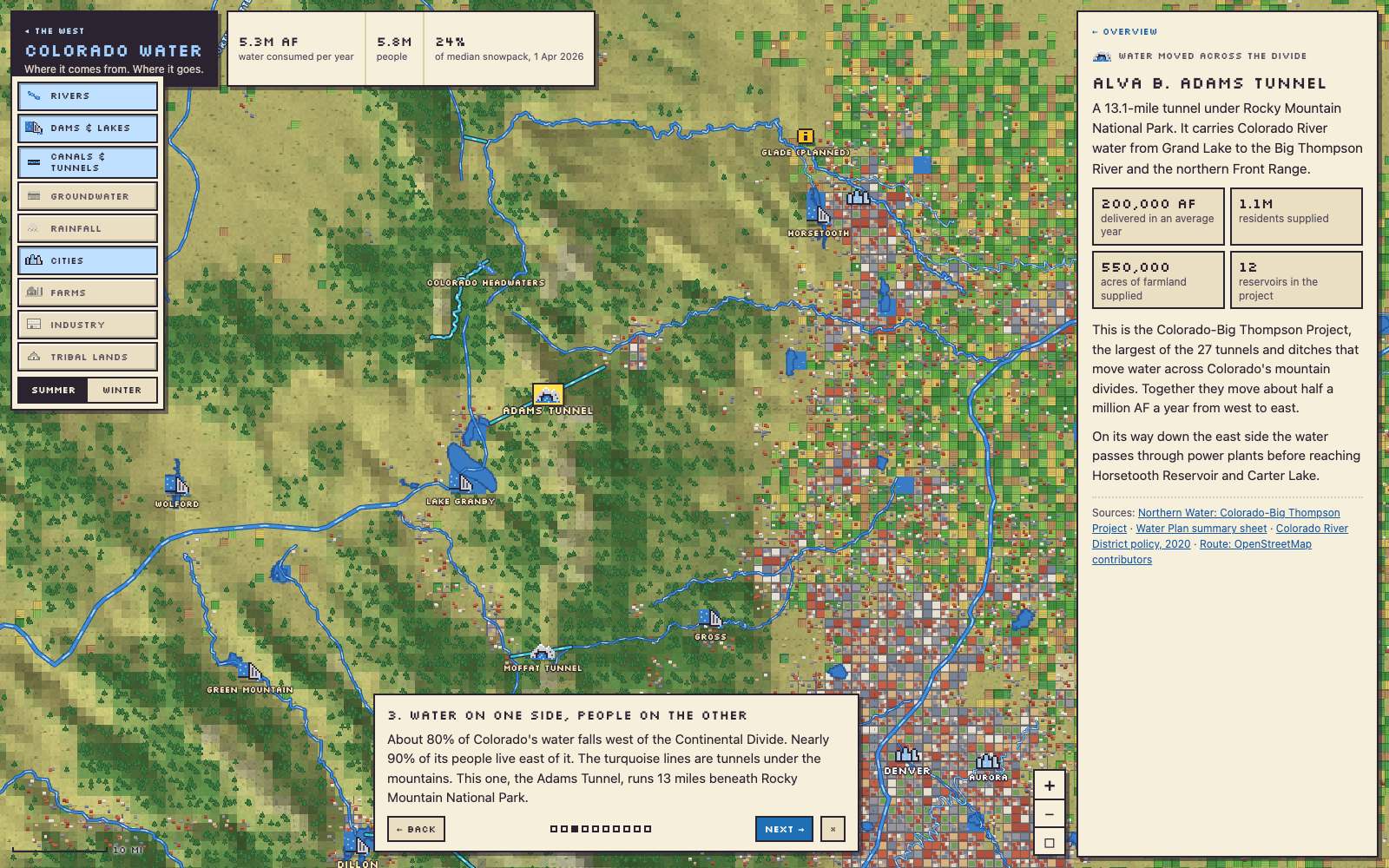
Colorado
About 80% of Colorado’s water falls west of the Continental Divide, and nearly 90% of its people live east of it. A 13-mile tunnel under Rocky Mountain National Park carries water across.
New Mexico
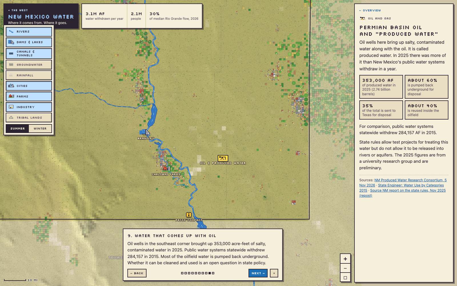
Oil wells in the state’s southeast corner bring up more water, salty and contaminated, than all of New Mexico’s public water systems withdraw.
Idaho
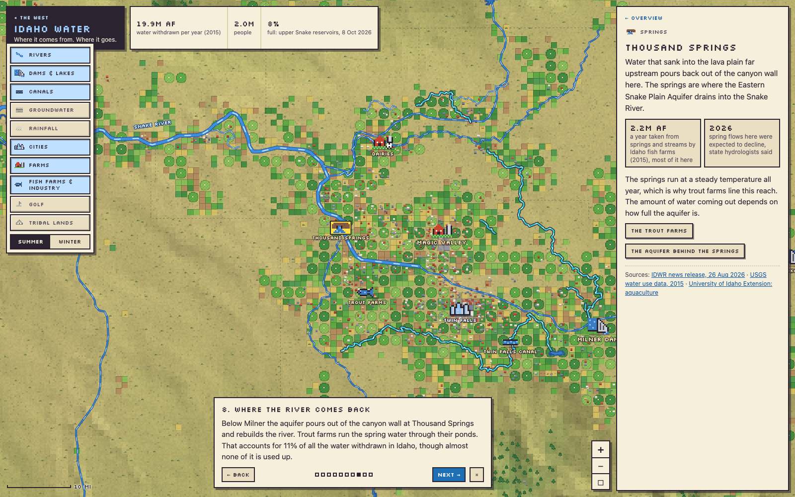
At Thousand Springs an aquifer pours out of a canyon wall into the Snake River. Trout farms run the spring water through their ponds, and that accounts for 11% of all the water withdrawn in Idaho.
Montana
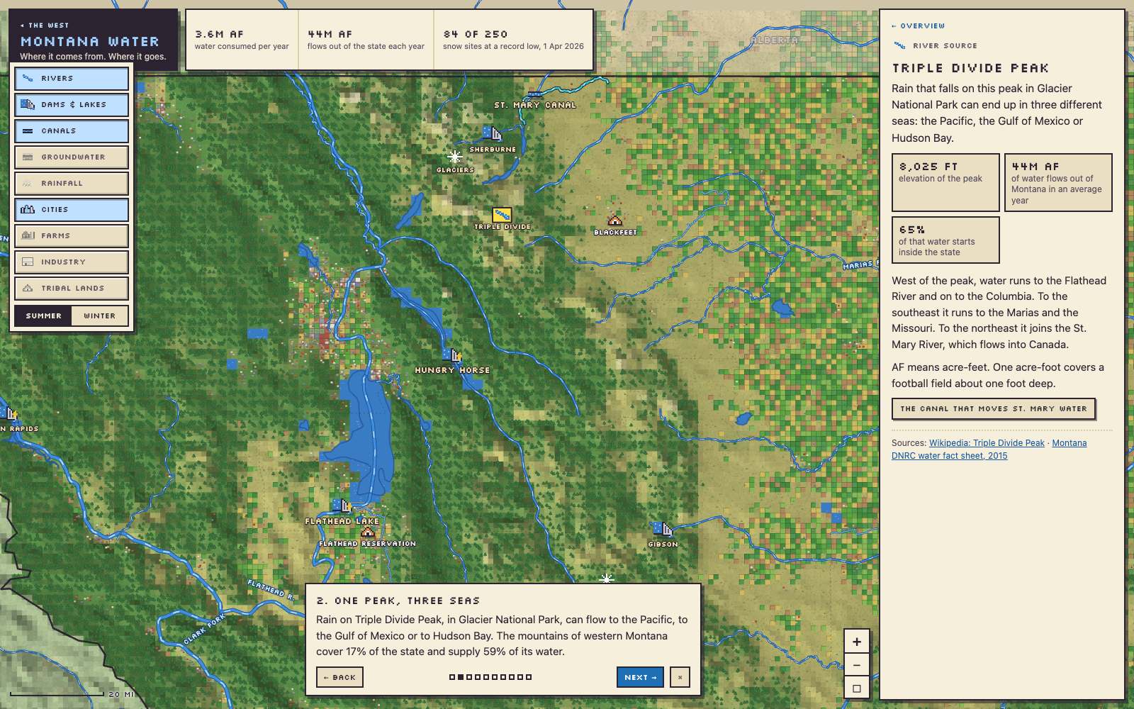
Rain that falls on Triple Divide Peak, in Glacier National Park, can flow to the Pacific, the Gulf of Mexico, or Hudson Bay.


Leave a Reply